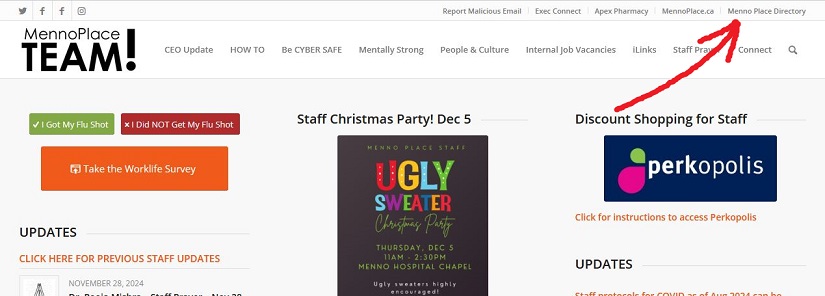
Winners Please Come and Collect Your Gift
If your name is on the list below, congratulations! You won a gift at last week’s staff party. All winners need to collect their gift from Nicole. Her office is in the MBS corporate offices through the glass doors to the left when you enter Menno Hospital. Nicole is in the office regular business hours. If you are not able to collect your gift during that time please arrange with a friend to come and get it.
List of winners:
Adria Van Veen
Alliah Soriano
Debbie Cherry
Dhiya Maria Meachery Jose
Heather Gotzke
Jeffrey Reyes
Laura Fast
Mandeep Sidhu
Mandeep Sandhu
Mandeep Gill
Mark Giesbrecht
Melina Maarhuis
Melissa Dare
Nadia Jacques
Navneet Dhanoa
Navneet Kaur
Nirmal Chhabra
Pawanpreet Mangat
Piroska Soos
Sandya Deboer
Sarbjeet Gill
Sharanjit Gill
Shayla Litwin
Stella Joiner
Sukhpreet Bhangoo
Tina Halim
Virpal Kang


